What is El Niño and how does it affect WA?
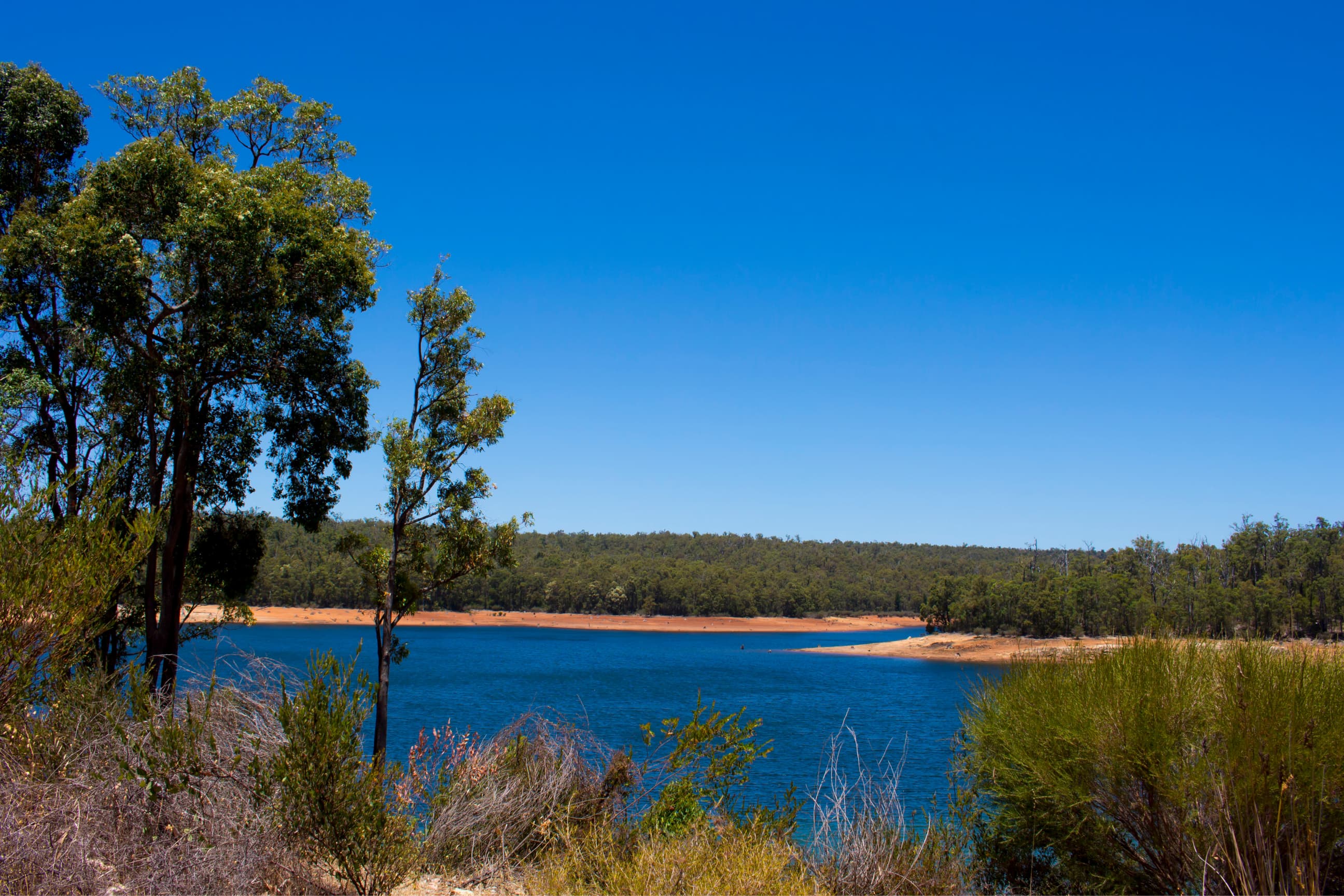
Western Australia could be facing warmer and drier seasons this summer and spring. Scientists and our Hydrologists are watching many climate drivers, including El Niño, the Indian Ocean Dipole (IOD) and the Southern Annual Mode (SAM), to see what it could mean for our weather in the months ahead.
If you’ve been keeping a close eye on weather reports around Australia, you may have come across the term El Niño. From 'super' El Niño to 'Godzilla' El Niño, these terms may sound alarming, but for Western Australia, the picture is more complex. El Niño is one of many climate drivers that influences our weather, and its impacts are often overshadowed by what's happening closer to home.
While we can't control the weather, we can prepare for it. By making a few waterwise changes, we can help our gardens, homes and communities prepare for seasons ahead.
What is El Niño?
In simple terms El Niño is a natural climate pattern that occurs when parts of the Pacific Ocean near the equator become warmer than usual. This extra warmth changes how air moves around the atmosphere, which can affect rainfall, storms, and temperatures in different parts of the world.
You can think of El Niño as a giant warm bath forming in the Pacific Ocean. As the ocean warms, weather patterns shift, sometimes causing wetter conditions in some places and drier conditions in others. Even countries far from the Pacific can feel its effects.
How does El Niño affect Western Australia?
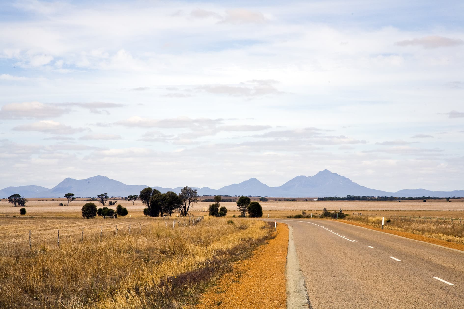
Unlike eastern Australia, where El Niño often has a strong influence on rainfall, Western Australia's weather is shaped by several climate systems working together.
El Niño is only part of the story. Weather patterns in the Indian Ocean and around Antarctica also affect our climate. These patterns are called the Indian Ocean Dipole (IOD) and the Southern Annular Mode (SAM).
When El Niño occurs alongside a positive IOD or positive SAM, warmer and drier conditions become more likely, particularly across southern Western Australia.
Indian Ocean Dipole (IOD)
The Indian Ocean Dipole (IOD) is a natural climate pattern in the Indian Ocean that can affect rainfall in Australia. This pattern occurs when ocean temperatures on one side of the Indian Ocean are warmer or cooler than the other side. The IOD is usually expressed as positive, negative, or neutral.
A positive IOD can often lead to reduced rainfall which means drier conditions across southern parts of Australia. Climate experts are currently monitoring the potential for a positive IOD to develop later in spring, which could increase the likelihood of warmer and drier conditions across parts of WA.
Southern Annular Mode (SAM)
The Southern Annular Mode (SAM) is a climate pattern that influences strong winds around Antarctica. These winds help guide rain-bearing weather systems. When the winds shift south, weather systems also follow. This is called a positive SAM and causes parts of Southern Western Australia, to become drier than usual.
We're already experiencing these conditions. In July, a strong positive SAM pushed rain-bearing systems further south than normal. This, along with the dry influence of El Niño, meant Perth only received 56.8 mm of rainfall, well below its average July rainfall of 144.3 mm.
How does El Niño affect me?
Depending on where you live, the impacts of El Niño may vary. If you’re in Southern WA this spring and summer, including Perth Metropolitan area, South West, Great Southern or Wheatbelt areas, El Niño and a positive IOD could bring warmer and drier weather.
If you're in Northern WA and the Goldfields, expect warmer conditions. You might also notice changes in summer rainfall and tropical weather, although, the effects on rain are often less predictable.
The Bureau of Meteorology are predicting warmer and drier conditions which places additional pressure on our water resources. For us, this can mean drier soils, lower streamflow and reduced runoff into our dams. The table below provides a snapshot of what this could look like across different regions of the state. Ratings of high, moderate and low indicate the level of impact expected for each region.
Regardless of where you live there’s plenty we can do to prepare. By implementing waterwise habits around the home and garden, we can all play a part to strengthen WA’s water future.
Table 1: Potential regional impacts from El Niño, positive IOD and positive SAM
| Region | Risk of reduced rainfall | Temperature | Bushfire risk | Key impact |
|---|---|---|---|---|
| Perth, Darling Scarp and Wheatbelt | High | High | High | Reduced rainfall |
| Gascoyne and Mid West | Moderate | High | Moderate | Variable conditions |
| Pilbara | Moderate | High | Moderate | Delayed monsoon |
| Kimberley | Moderate to High |
High | Moderate | Weaker monsoon |
| Goldfields-Esperance | Moderate | High | Moderate | Inland drying |
| Nullarbor | Low | Moderate | Low | Limited El Niño influence |
Tips to get ahead this Spring
Preparing your irrigation system before the warmer months can help avoid water waste and keep your garden healthy. Check for leaks, damaged sprinkler heads and areas that may need adjustment, so your system is ready for when temperatures rise, and soils begin to dry out. Our advice on testing your irrigation and how long should I run my sprinklers for can help get your system summer ready.
Stay one step ahead
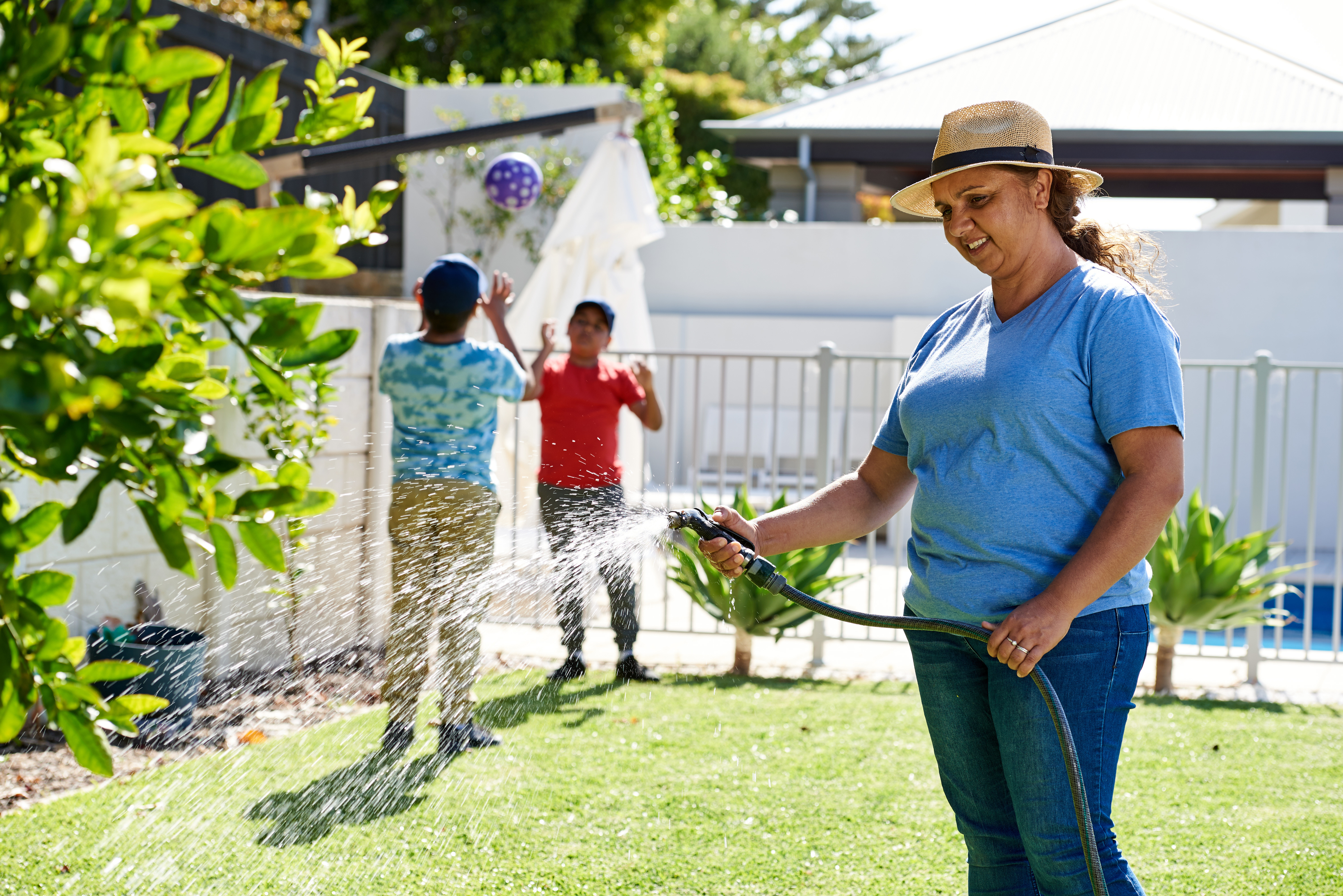
No one can predict exactly what spring and summer will bring, but a little preparation can go a long way. Whether you're looking to create a more waterwise garden, save water at home or improve your irrigation, we're here to help.
Visit our Waterwise advice hub for more tips, guides and inspiration.